History of the Emiquon Preserve
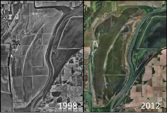
The Nature Conservancy’s (TNC) Emiquon Preserve is more than 2800 hectares—one of the larger floodplain restoration projects in the United States. It consists of the recently restored Thompson and Flag lakes located along the Illinois River between Lewistown and Havana, Illinois.
Historically, Thompson and Flag lakes were known as two of the most productive backwater lakes in the Illinois River Valley. The lakes were disconnected from the Illinois River in 1924 when they were reduced to agricultural drainage ditches. The area was put into agricultural production from 1924–2006, and became the largest agricultural farm in Illinois.
TNC purchased the property in 2000 and began aquatic restoration of the site in 2007. Rotenone was applied to the remaining agricultural drainage ditches to remove all fish species including those that are considered invasive or nuisance species. Since 2007, thirty native fish species have been stocked based on historical records of what used to inhabit the two lakes.
Monitoring at Thompson and Flag lakes
TNC has contracted the Illinois River Biological Station (IRBS) to monitor aquatic vegetation and fish communities at Emiquon Preserve’s Thompson and Flag lakes since 2007.
Aquatic vegetation and fish community monitoring use LTRM protocols to evaluate Key Ecological Attributes (KEAs). TNC’s Emiquon Science Advisory Board developed these KEAs to serve as the driving management force and to evaluate the restoration success at Thompson and Flag lakes. There are 18 KEAs relevant to Thompson and Flag lake restoration success that determine underwater irradiance, hydrology, aquatic vegetation community composition, fish community assemblages and composition, spawning, nursery, feeding, and over-wintering habitat.
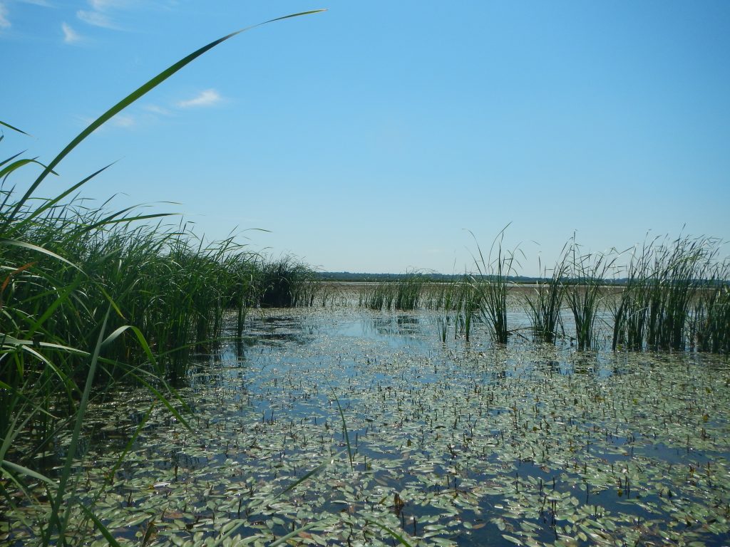
Aquatic vegetation monitoring
IRBS conducts aquatic vegetation monitoring from May–September on both Thompson and Flag lakes using an aquatic vegetation rake. The two lakes are sampled as one water body, but are spatially stratified into north, middle, and south units. Thirty random sites are sampled May–June and September while a total of 60 random sites are sampled during July and August—the peak of the growing season. At each site we record data from 6 rake subsamples around our boat, as well as water quality parameters including Secchi, depth, water temperature, dissolved oxygen, and conductivity.
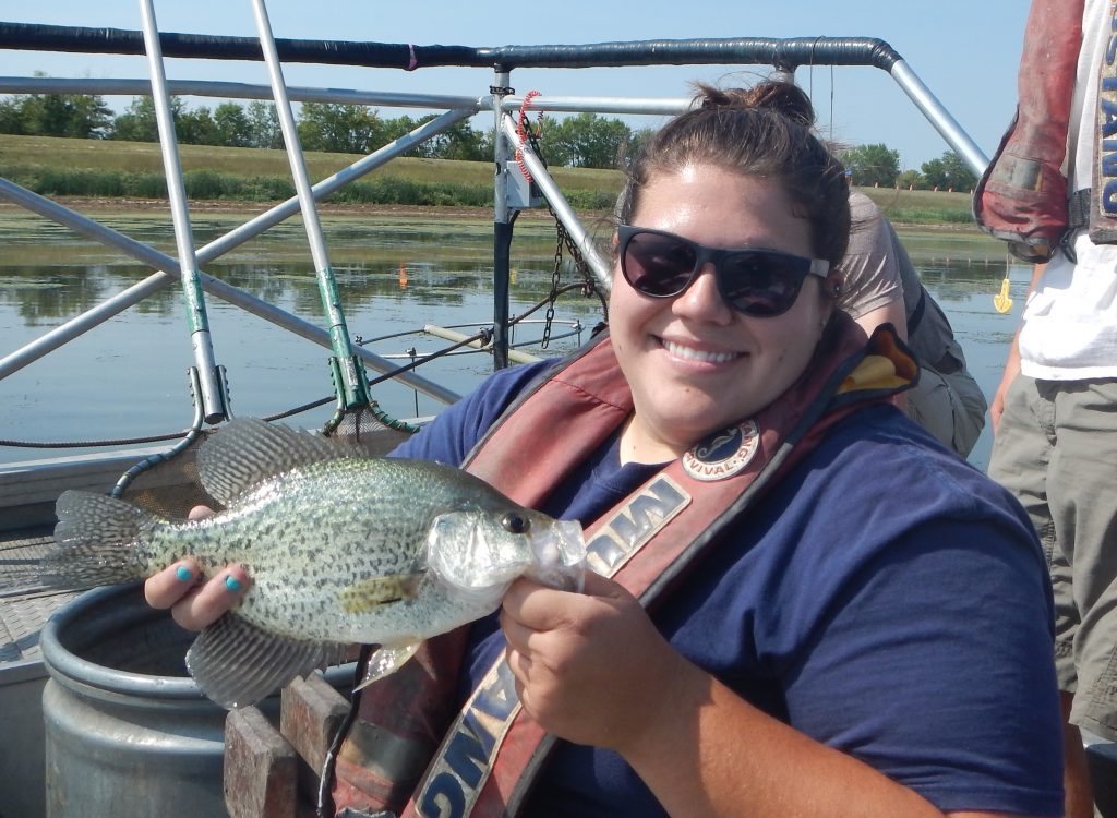
Fish community monitoring
IRBS only monitors fish communities at Thompson Lake, because Flag Lake’s shallow water depths and abundant aquatic vegetation foul sampling gear. Researchers use a multiple gear approach at random and fixed sites, but not spatially stratified. The approach consists of 4 electrofishing runs (15 minutes each), 4 fyke nets (24 hours each), and 4 mini-fyke nets (24 hours each) at shoreline or pseudo-shoreline (used for shoreline gear) sites as well as 1 tandem fyke net (24 hours each) and 1 tandem mini-fyke net (24 hours each) at open water (pelagic) sites. Water quality parameters collected include Secchi, depth, water temperature, dissolved oxygen, and conductivity.